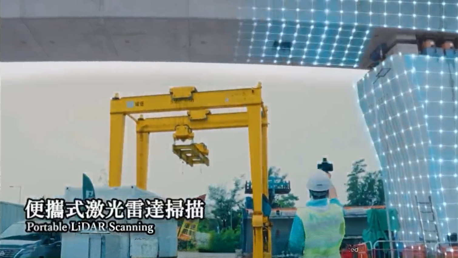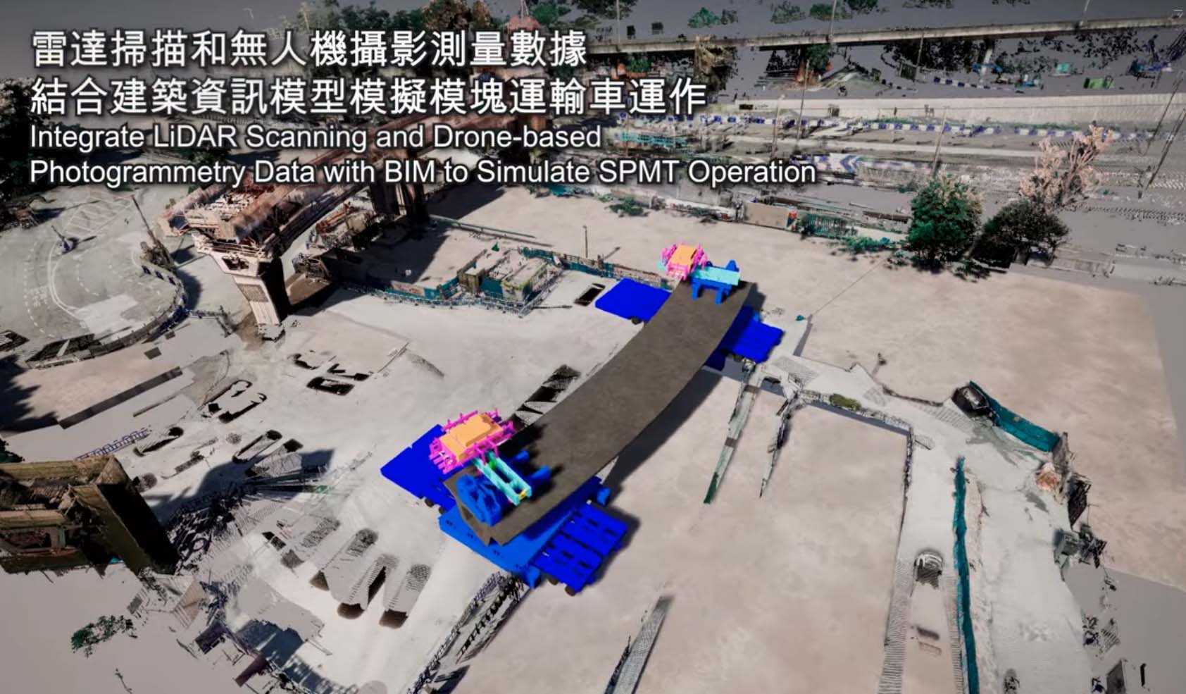

We have introduced LiDAR (Light Detection and Ranging) intelligent sensing technology and UAV aerial surveying system. Through high-precision 3D scanning, real-time data collection and long-distance image surveying, it comprehensively captures data on site topography, component dimensions and surrounding environments.
This technology can quickly establish a 3D digital terrain model of the site, enabling integrated operations including topographic surveying, progress monitoring, deformation monitoring and safety hazard investigation.
It effectively improves surveying accuracy and operational efficiency, reduces the risks associated with manual on-site inspections, and shortens the surveying period. At the same time, it strengthens visual construction management, optimizes scheme comparison and quality control, reduces human errors and environmental disturbances, and fully align with the trend of smart construction in high-density and complex urban areas.